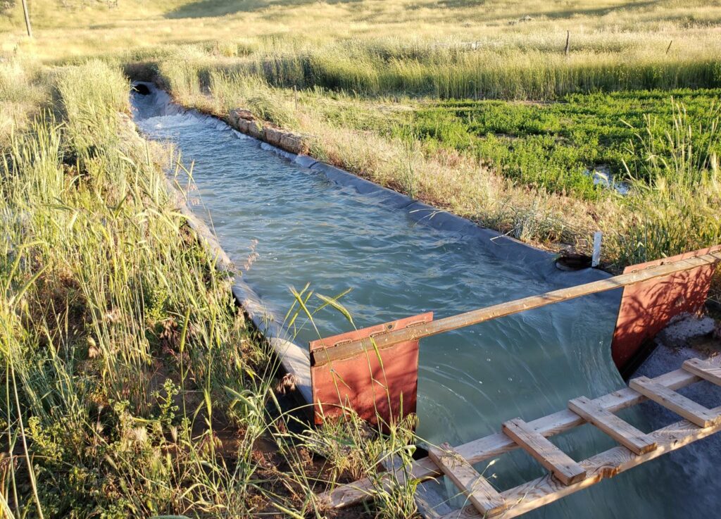
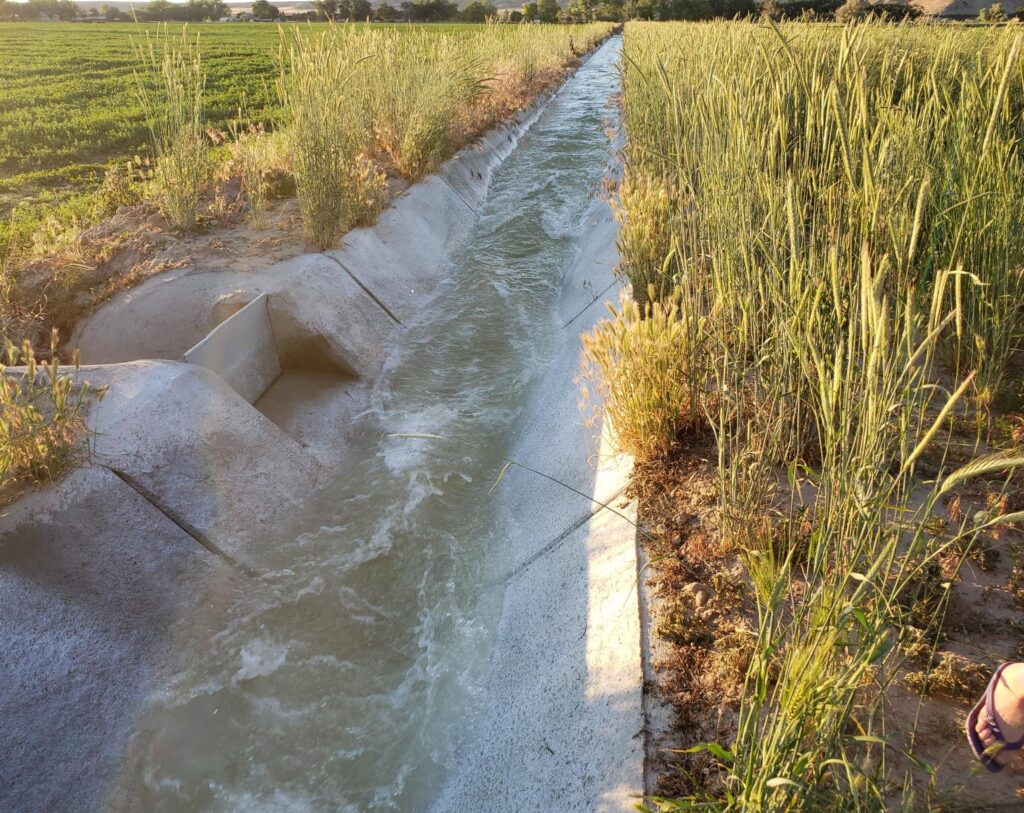
While out reviewing ditches with my father, I came across this interesting ditch. What makes it interesting is that in a relatively short distance, it transitions through many different flow types.


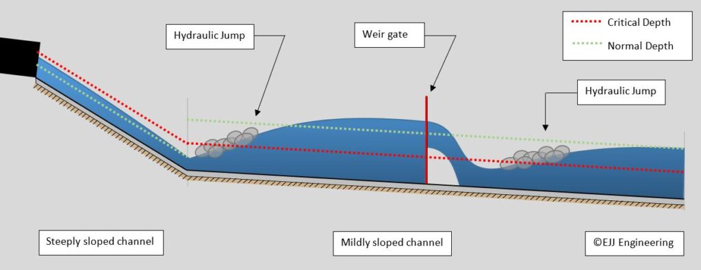
The source of the water is a canal on the other side of the road. It is brought through a culvert and runs out on a channel on a steep slope. The flow begins at about critical depth and draws down toward normal depth. I didn’t take any measurements and so I’m not performing any computations to determine whether it reached normal depth or not. Close to the slope change, the flow creates a hydraulic jump to get past critical depth and backs up to a depth greater than normal depth. The water is backed up by a weir gate so the flow can be accurately measured. The water drops of the sharp-crested weir where it has another hydraulic jump to draw toward normal depth. The water begins in S2 and depending on where the jump occurs, goes to M3, M2, and then M1, back down to M3, and stabilizing to M2.
That’s a lot of change for a simple irrigation ditch.

#FlowProfiles #Ditch #Channel #Irrigation @HydraulicJumps #EJJE #JonesConcrete